Click to see how we're celebrating the Appalachian Trail Conservacy's 100th Anniversary!
Giving Back
Hiking
General Hiking Information
Leave No Trace Guidelines
Personal Safety & Awareness Tips
Preparing for a Hike
The 10 Hiking Essentials
Warm Weather Hiking
What To Do If You Get Lost In The Woods
Backpacking Checklist
Dealing with Potentially Harmful Animals on the Trail
Dressing Smart for Winter
McAfee Knob and Virginia’s Triple Crown
RATC’s 14 AT Hikes
Shelter Listing
Events
Members
Contacts
Newsletters
Documents
Awards
Charles Parry Memorial Award
Honorary RATC Lifetime Membership Award
RATC 113-Mile Club
Store
Volunteer
Boundary Walking
Hike Leaders
McAfee Knob Task Force
Shelter Crew
Trail Maintenance
Log In
Join
Dec / 2024
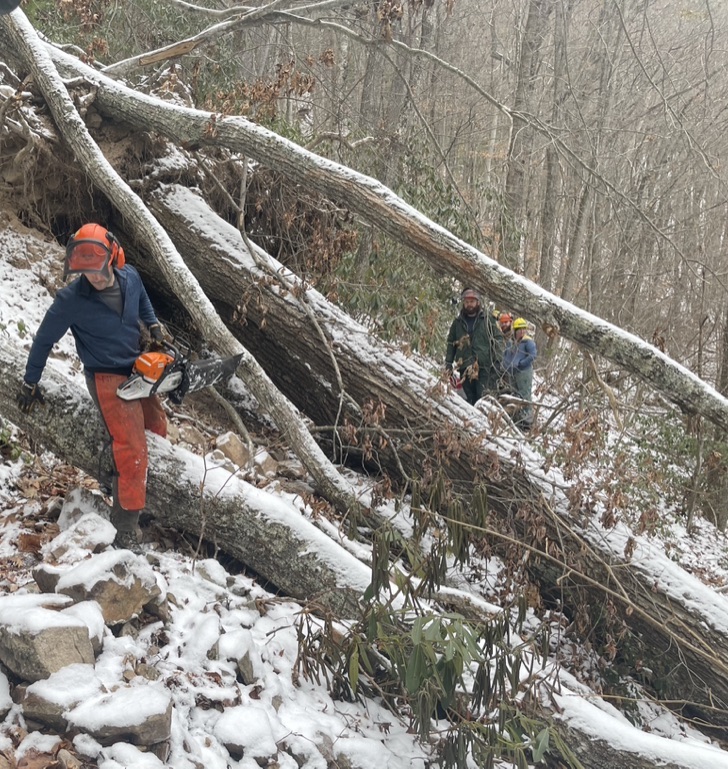
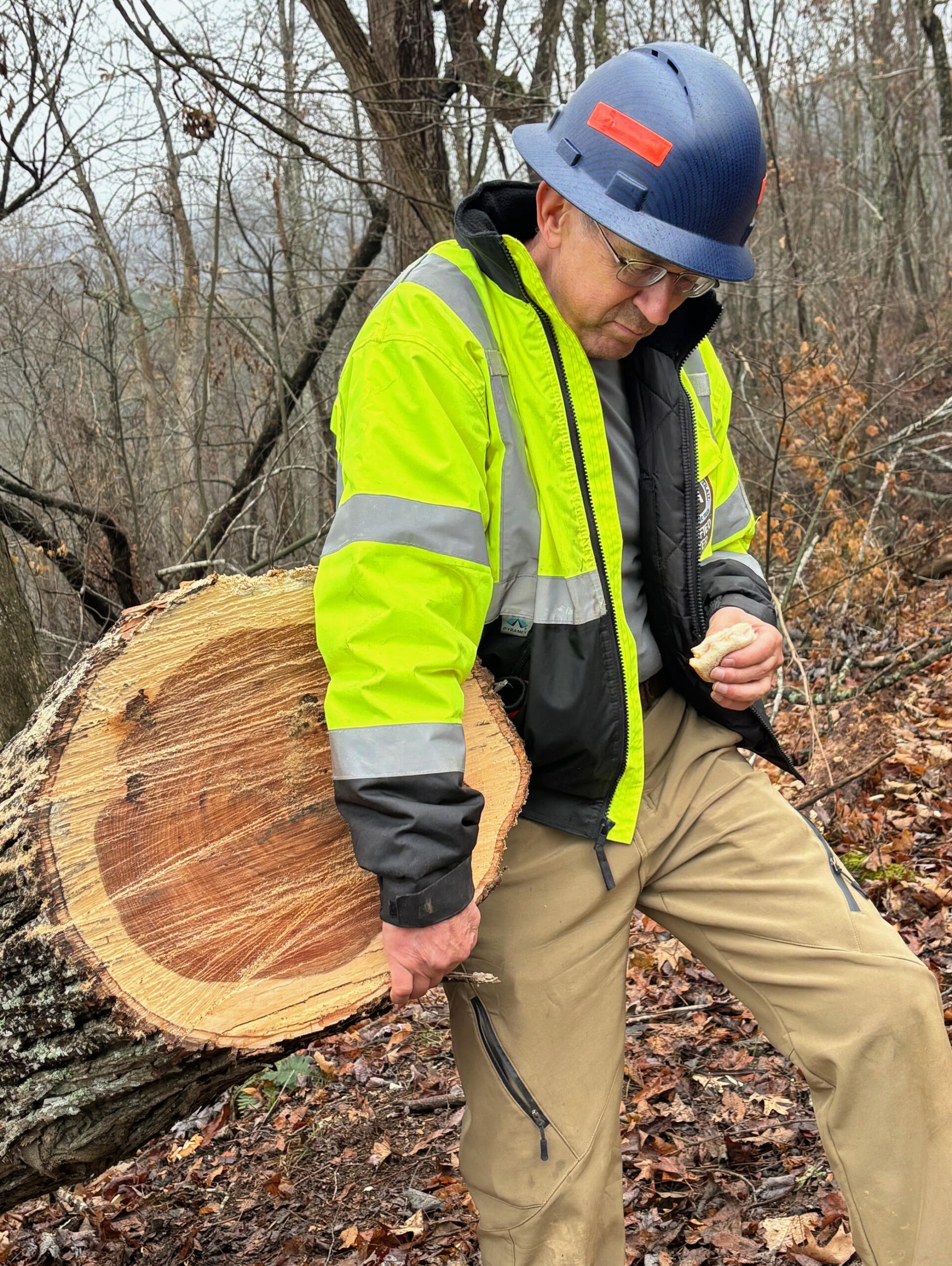
RATC Volunteer Sawyers Continue post-Helene Efforts
Nov / 2024
RATC Sawyers Help Clear AT After Helene
Jul / 2024
Remembering Dave Youmans: An AT Champion
Oct / 2023
MVP Construction in Peters Mountain Area
Aug / 2023
Dragon’s Tooth visitors asked to protect sensitive ecosystem
Mar / 2023
David Dick’s 1933 map of the A.T. from Roanoke to New River
Sep / 2022
New McAfee Knob Shuttle Service Now Available
Feb / 2022
Catawba Mtn Fire Road Reopened to Hikers Following Improvements
Jan / 2022
Catawba Mountain Fire Road Temporarily Closed
Oct / 2021
Catawba Greenway: new parking for McAfee Knob and a new loop trail!
Search
Submit
Clear