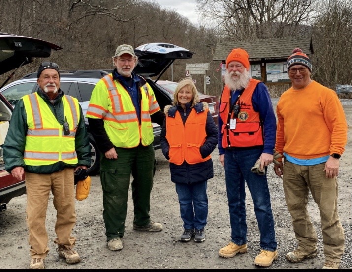
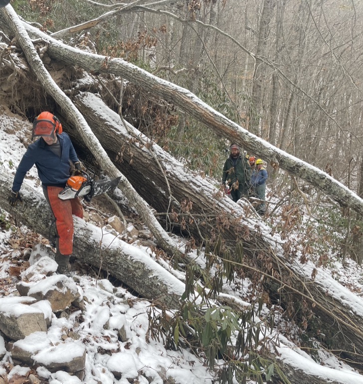
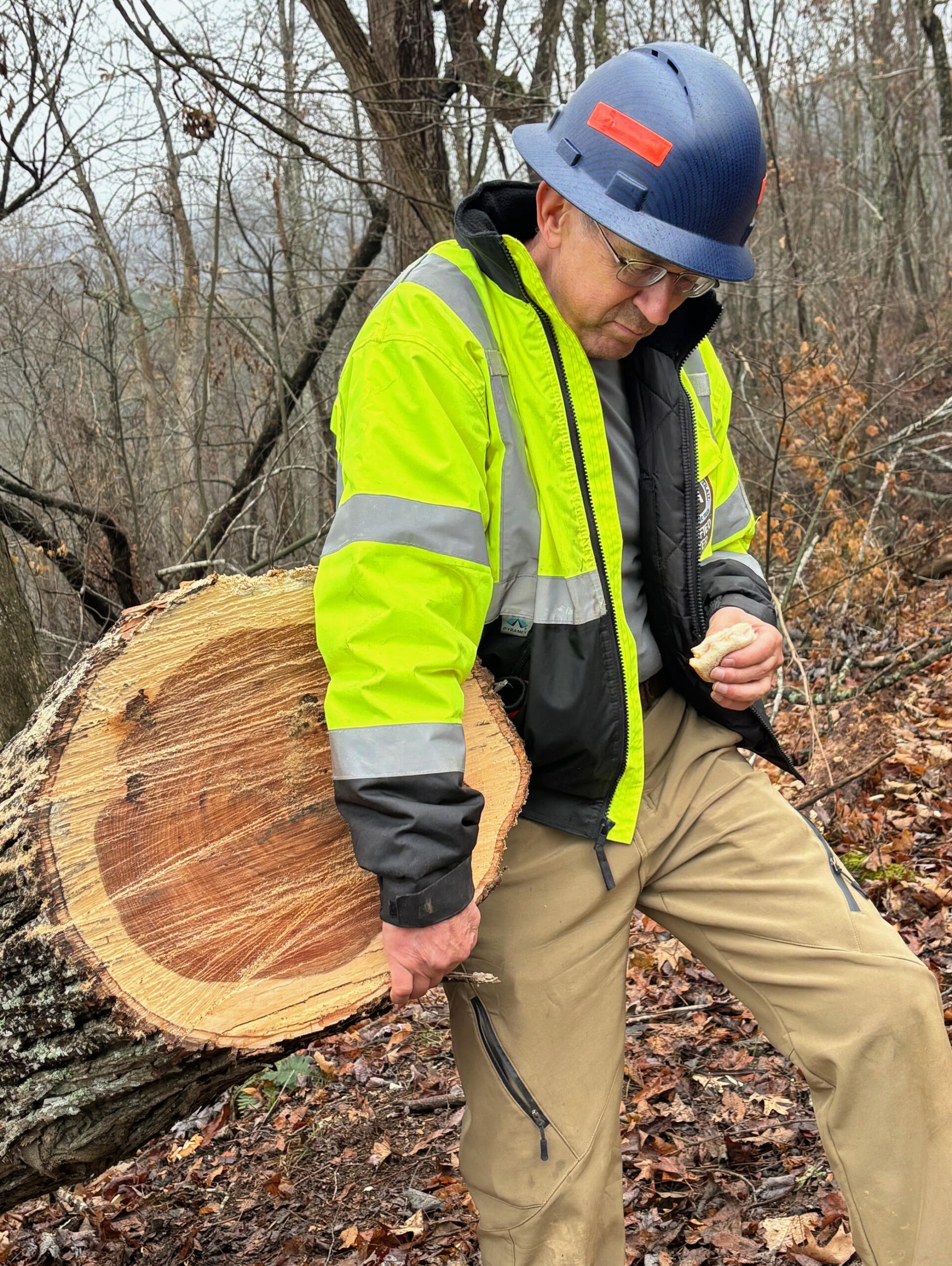
Just in time for peak leaf season! Roanoke County is excited to partner with Ride Source to launch the new McAfee Knob Trailhead Shuttle Service. Starting on September 2, 2022 transportation will be provided from the Interstate 81 Exit 140 Park and Ride. The shuttle will take hikers to the National Park Service’s McAfee Knob Trailhead parking lot along the Appalachian National Scenic Trail.

The shuttle service is available starting September 2, 2022, through November 27, 2022, on Fridays, Saturdays, and Sundays.

Shuttle hours will vary with Daylight Savings Time. The last shuttle will depart from the trailhead 15 minutes prior to service ending.

September: 7:00 a.m. to 7:00 p.m.
October: 7:00 a.m. to 6:30 p.m.
November: 7:00 a.m. to 5:00 p.m.

Tickets are available to purchase online at www.McAfeeShuttle.com.

Download the Waze Navigation App and click on the logo to route your trip!

McAfee Knob Trailhead Shuttle Logo with GPS link to get driving directions

Visit the Roanoke Appalachian Trail Club’s description of McAfee Knob to plan your trip.

FireRd-Spotters-“Rose&4Thorns”-TerryShipley PeteIrvine DeeLamb BillNeilan MarkFarrell.

(Roanoke, VA). The Catawba Mountain Fire Road has been reopened to hikers following major work to improve the road for both emergency vehicles and the hiking public. The gated Fire Road runs parallel to the Appalachian National Scenic Trail (A.T.) on National Park Service (NPS) lands northerly from the A.T. Trailhead Parking Area on VA-311, approximately 10 miles north of Salem, VA. It serves as emergency vehicle access for incidents in the McAfee Knob area, a popular panoramic viewpoint and hiking destination, as well as forming a loop hike opportunity with the A.T. The road has been closed to all public use since January 11 for this project.

Read more »

Roadwork to Temporarily Close Catawba Mountain Fire Road to Hikers

Update: Due to weather delays, work did not begin on January 17 as planned. Work began February 7, and will continue until March 4.

(Roanoke, VA). Roadwork to improve the Catawba Mountain Fire Road for emergency vehicle use will require the road to be temporarily closed to hikers and all public use beginning Monday, January 17 through February 11. During this road closure, hikers will continue to be able to use the Appalachian National Scenic Trail to access McAfee Knob and beyond. This roadwork is weather-dependent and is being performed during the winter season to minimize disruption to hikers.

Read more »

On September 30, 2021, officials from Roanoke County, the Virginia Tech Catawba Sustainability Center (CSC), the Roanoke Valley Greenway Commission and other organizations cut the ribbon to open the new Catawba Greenway. Hikers now have two additional parking locations for a McAfee Knob hike and a four-mile loop hike that connects two portions of the Catawba Greenway via the Appalachian Trail.  AT thru hikers can now resupply at the Catawba Post Office without walking down busy State Highway 311 as well.

Read more »

Diana Christopulos, RATC Archivist

From the RATC archives ~ 1950s

You will notice that I am referring to the Appalachian Trail as a Project. That is what it is in its present stage. Some of us look upon the Appalachian Trail as a completed trail. In fact it has been measured and blazed over its entire length and guide books printed to cover the entire trail. Such a situation may give the impression that the trail is completed, but it is far from completion.

It is safe to say that the section southwest from Roanoke to Iron Mountain near Damascus is the worst to be found in the whole length of the trail. . . I defy anyone to find anything of interest to the hiker except short stretches such as in Rocky Knob Park and The Pinnacles of Dan, and the Fisher’s Peak Area. These spots stand on their own merits, but they are connected by roads, mostly dirt but some graveled and paved. All wilderness aspect is lost. The very nature of this section detracts from the use of the trail.

In view of this situation, I have attempted to revive interest in a relocation project to get the trail moved to the West. This trail would, as presently planned, leave the present route at Lambert’s Meadow and cross the Catawba Creek Valley to North Mountain. From the Juncture with the North Mountain Trail the proposed route would follow in a general manner a line drawn to Hungry Mother State Park, and there cross over to Iron Mountain and rejoin the present trail.

Report of the President, James W. Denton
1949 Annual Banquet of the Roanoke Appalachian Trail Club
January, 5, 1949

RATC’s founders worked closely with Myron Avery to lay out, mark and build the original Appalachian Trail around and south of Roanoke in the 1930s. Their responsibilities grew in the 1950s, as volunteers led by two extraordinary couples worked with federal agencies and others on a monumental undertaking – relocating about 250 miles of the AT all the way to the West Virginia border. It took almost 40 years to complete the project, but RATC made a great start in the 1950s.

Most of the original route was on private land east of the Blue Ridge, with little more than hand-shake agreements protecting the pathway. Much of it also involved road-walking. As early as 1940, RATC club leaders and US Forest Service officials were advocating a complete relocation of the Appalachian Trail between Roanoke and the Tennessee border.i

World War II put an end to trail building and most trail maintenance. When people like Earl Shaffer, the first documented thru hiker, headed for the AT after the war, it was poorly maintained and poorly marked.

Enter Jim and Mollie Denton as well as Tom and Charlene Campbell. They all joined RATC after the war and revived its leadership role in the southern half of Virginia. Three of the four (Tom Campbell and both Dentons) served as RATC presidents, and they were at the center of both a major trail relocation and the lively social scene of the club.

The Appalachian Trail is again open between Pine Swamp Shelter to Clendenin Road effective 4/15/2021.

The power line tower structure has been repaired, but MANY trees remain down in the area. Work continues to remove and clear debris.

Map showing affected area of the Trail
Affected area between Pine Swamp Shelter (North) and Clendenin Rd (South)

by Diana Christopulos, RATC Archivist

 RATC has been around since 1932, and we are finally pulling together all the records. Acting as the RATC Archivist, I am working to digitize it and write about it. This is the first story. 

The Founding

1932 graffiti from Nomad hiking club, whose members helped found the RATC. Photo by Jim Beeson

How do you make a trail building club out of three hiking clubs? Let them build trail where they like to hike. In 1932, Roanoke College had an outings club. So did Hollins College. And hikers from Roanoke and Salem, mostly women, had their own hiking club called The Nomads. On November 13, 1932, members of all three groups went for a walk in Carvins Cove, followed by supper at the home of Donald Gates, an economics professor at Roanoke College. Then they founded the Roanoke Appalachian Trail Club. Their own favorite hiking spots like Tinker Cliffs, McAfee Knob, Carvins Cove, Poor Mountain and Bent Mountain Falls would shape an immediate relocation of the originally planned AT route.

Like other clubs south of Washington, DC, RATC was the brainchild of Myron Avery, the driven and meticulous implementer of Benton McKaye’s visionary Appalachian Trail. Avery became chairman of the Appalachian Trail Conservancy in 1931, when about 1,000 miles of the AT had already been completed. He was also president of the Potomac Appalachian Trail Club and, like Johnny Appleseed, was busy planting new clubs between Georgia and Maine.

The founders of the RATC were hikers. Under Avery’s guidance, some of them would also become expert trail builders. After encountering Avery at an ATC event in the Smoky Mountains, Prof. Gates began corresponding with Avery, and he called a meeting of interested parties at the Roanoke YMCA on October 24, 1932. Next came a two-day meeting with Avery and other PATC members at the Hotel Mons near the Peaks of Otter on October 29-30. It must have been an impressive show. After day hikes to Sharp Top and Flat Top, PATC members showed movies and slides on how to mark and build trail along with scenic views on the completed northern sections. The next day they demonstrated exactly how to construct a trail.

Read more »

Want to show your love of iconic McAfee Knob and support the Roanoke Appalachian Trail Club?

McAfee Knob shirts are available in various styles and sizes via this link –  http://www.bonfire.com/store/ratc

Proceeds support the mission of the Roanoke Appalachian Trail Club (RATC) to maintain 120 miles,16 Shelters/Privies and 53 Bridges on the AT from Lickskillet Hollow in Giles County to Black Horse Gap in Botetourt County. This includes Virginia’s Triple Crown, i.e., Dragon’s Tooth, McAfee Knob and Tinker Cliffs.

http://www.bonfire.com/store/ratc

GOOD NEWS!

Beginning June 13. 2020 – The National Park Service reopened access to 27 miles of the Appalachian Trail known as the “Triple Crown”. The “Triple Crown” area includes the AT between VA Route 624 (Newport Road) and VA Route 652 (Mountain Pass Road), including McAfee Knob and Tinker Cliffs. All sections of RATC maintained AT are now open.

Things to Remember:

Please follow all local health orders, including social distancing and practice Leave No Trace principles. No hand washing facilities exist on the trail, bring hand sanitizer. No restroom facilities exist on the trail or VA 311 McAfee Knob Trailhead Parking Lot

VA 311 McAfee Knob Trailhead Parking Lot is at 100% capacity and parking is not allowed on VA 311 – illegally parked cars may be ticketed and towed

No trail maintenance has been performed on the trail since March 15, 2020.Be prepared for trail obstructions.

Shelters and privies in all sections section remain closed

Plan your Triple Crown hike during the week, if at all possible. Weekend days can be crowded.

Enjoy your hike and BE SAFE!

https://www.ratc.org/membership

As you know, RATC is an active organization devoting countless volunteer hours to maintain and improve our 120 mile section of the Appalachian Trail (AT). Funds generated from membership play an integral part in the club’s ability to provide trail and shelter maintenance. If you are not an RATC member or have not renewed your membership please join or renew your Roanoke Appalachian Trail Club (RATC) membership and support the stewardship of our 120 mile Appalachian Trail (AT) section with both your membership and financial support. Membership information is available at

https://www.ratc.org/membership

Questions? Please contact RATC Membership Coordinator – Steve Urbaniak 540-588-5410 – membership@ratc.org

Highlights of 2019 RATC activities include;
• Resurfaced McAfee Knob/VA 311 Trailhead Parking Lot – $2,000
• Supported the “Virginia Triple Crown” Volunteer Ridgerunner Program – 52 Volunteers/1679 Volunteer Hours
• Contributed $5000 toward purchase of Doc’s Way property to protect McAfee Knob view shed
• Replaced roofs on Catawba, Wilson Creek, Jenny’s Knob, Laurel Creek and Doc’s Knob Shelters – $2500
• Replaced fire rings for 5 Shelters – $1100
• Repaired foot bridges at VA 620, VA 621 and VA 785 – $1000
• Held weekly trail maintenance hikes resulting in 350 steps being installed on Dragon’s Tooth, Sinking Creek (Niday Shelter side), Curry Gap and AT/McAfee Knob.
• 83 RATC Trail Maintainers worked >5500 volunteer hours to maintain our section of the AT
• Assisted Konnarock Crew with War Spur trail relocation
• Performed emergency repairs to Fulhardt Knob Shelter after fire
• Offered 60+ recreational hikes covering a wide range of difficulty and distance