
RATC Shelters
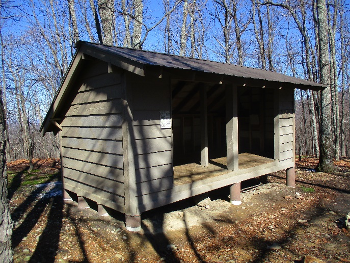
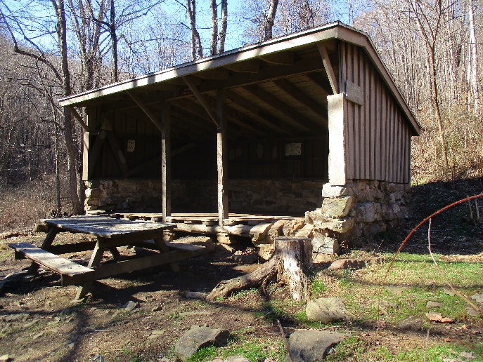
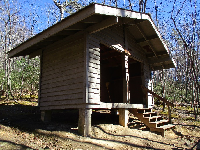
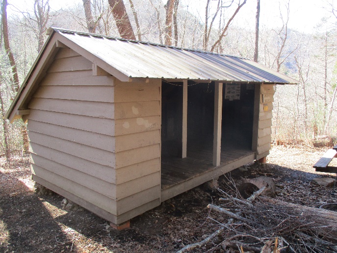
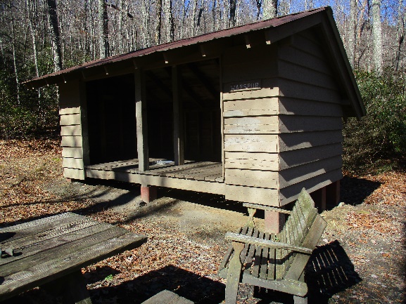
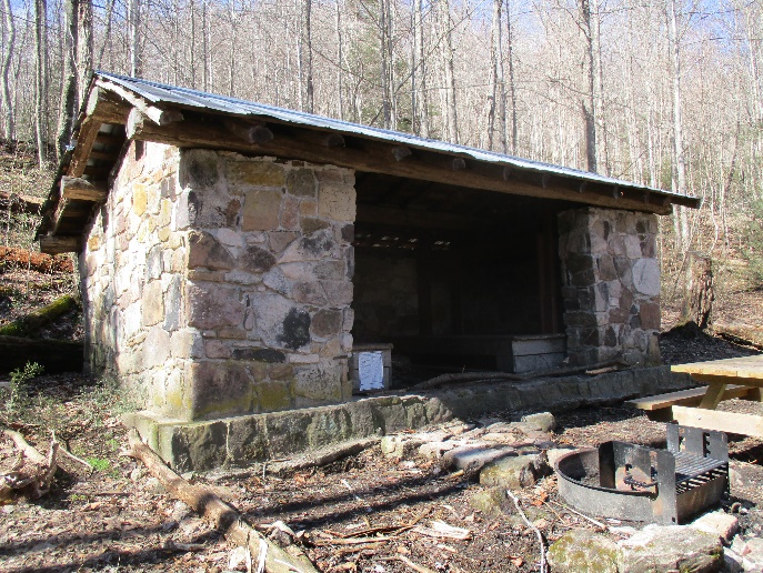
Fullhardt Knob
Date Built: 1965
Capacity: 6
Distance from AT: 0.10 miles
Water Source: Cistern – 0 miles
Description: This is the last shelter on the Appalachian Trail to use a rain cistern. Rainwater is collected from the roof and stored in a large tank. A spigot just behind the shelter serves as the water source.
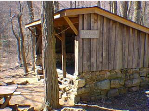
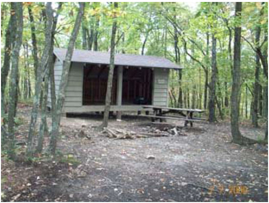
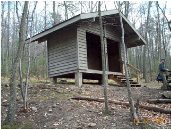
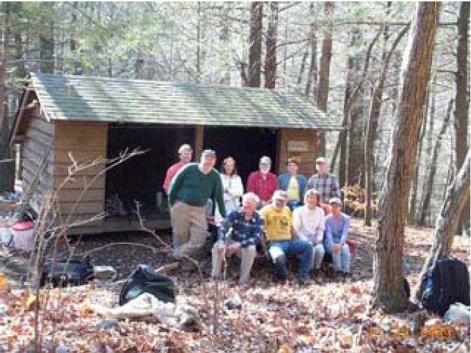
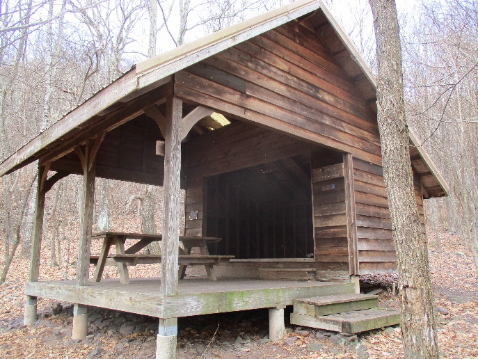
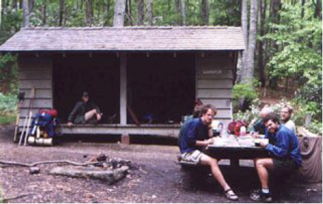
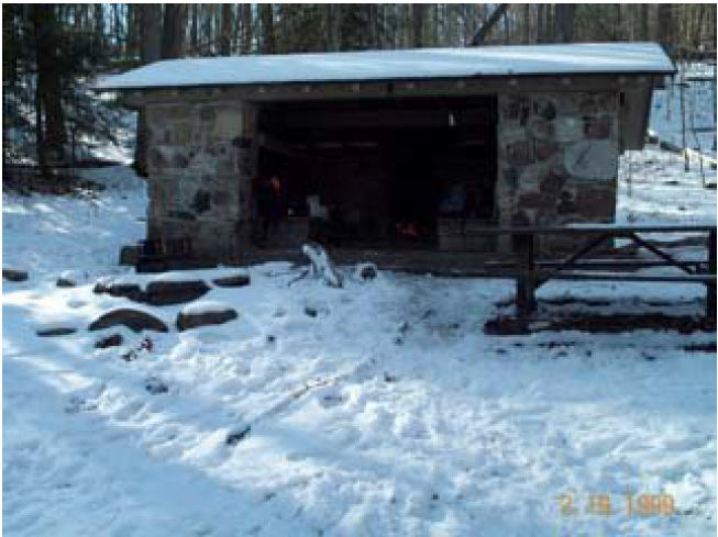
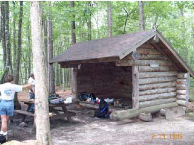
Lamberts Meadow
Date Built: 1972
Capacity: 6
Distance from AT: 0 miles
Water Source: Stream – 0.05 miles
Description: This is the oldest shelter on APPA land … and it’s showing its age. The water supply is not reliable in late summer or during periods of drought. The water at the campsites 0.3 miles north of the shelter is slightly more reliable.
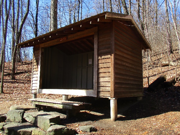
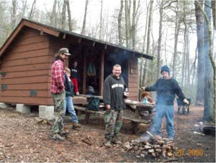
Campbell
Date Built: 1989
Capacity: 8
Distance from AT: 0 miles
Water Source: Spring – 0.1 miles
Description: The water supply is a short walk downhill. Not reliable during late summer or during periods of drought. It is possible to watch the sunset from the top of McAfee Knob and make it to this shelter if you hike quickly and leave right after sunset.
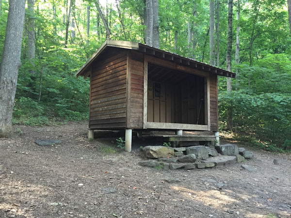
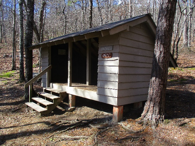
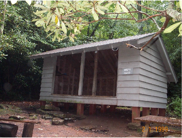
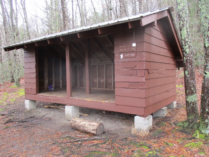
John’s Spring
Date Built: 2003
Capacity: 8
Distance from AT: 0 miles
Water Source: Spring – 0.25 miles
Description: The water source is on a blue blaze that starts halfway to the outhouse and turns sharply right. It leads .25 miles to a water source that is not very reliable. The shelter is a memorial to John Haranzo, an avid AT hiker.
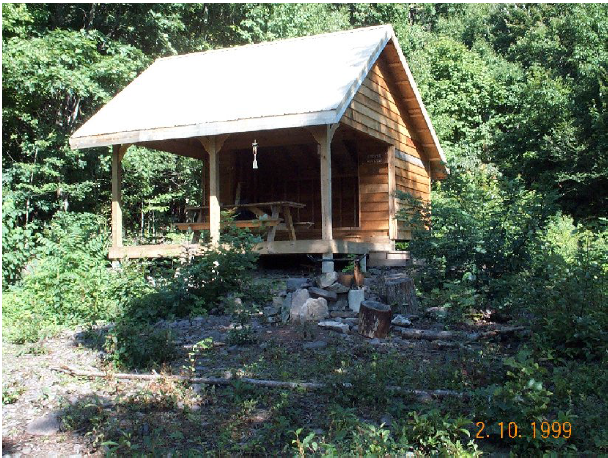
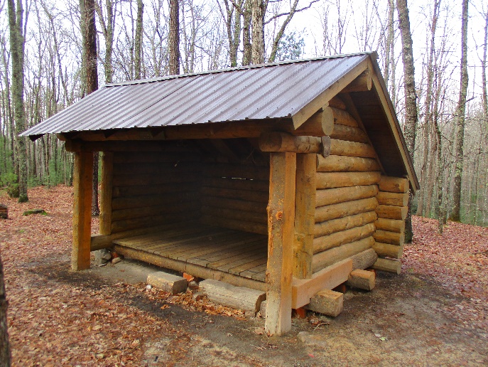
Sarver Hollow
Date Built: 2002
Capacity: 12
Distance from AT: 0.25 miles
Water Source: Spring – 0.05 miles
Description: Built between February and August 2002 by RATC volunteers with much help from the USFS, this shelter is a memorial to Scott Marshall Riddick. The location is steeped with history, being the homeplace of Henry Sarver as far back as the 1850s. There are several cabin ruins and a small cemetery to the right of the shelter. An old springhouse serves as the water source. When dry, continue on the blue blaze for a secondary water source. The trail down to the shelter is very steep. This shelter has a covered eating area, skylights and a ghost named “George.”
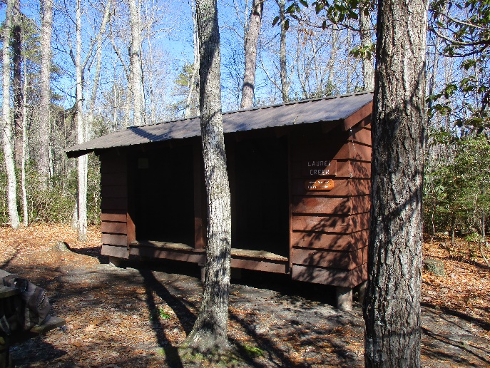
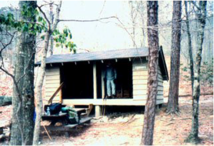
Laurel Creek
Date Built: 1988
Capacity: 8
Distance from AT: 0 miles
Water Source: Stream – 0.05 miles
Description: This shelter has a moldering privy. It works by creating a friendly environment for bacteria which break down the wastes. After each use, simply toss in a handful of leaves and duff from the forest floor. This shelter was originally located near the top of Kelly Knob where it was called “Big Pond Shelter.” It was moved to its current location in 1988 by the USMC and RATC volunteers.
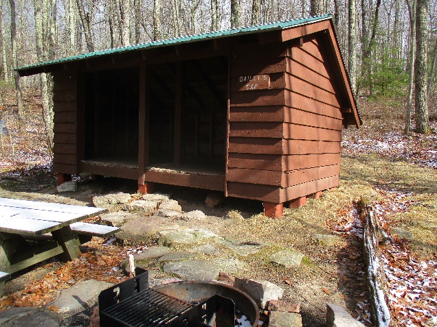
Bailey Gap
Date Built: 1965
Capacity: 8
Distance from AT: 0 miles
Water Source: Spring – 0.1 miles
Description: There is a tiny spring about 0.1 miles from the shelter but it goes dry very early each summer. The spring 0.3 miles south of the shelter is more reliable. Even it goes dry during periods of drought.
Jenny Knob
Date Built: 1983
Capacity: 6
Distance from AT: 0 miles
Water Source: Stream – 0.25 miles
Description: The spring at this shelter sometimes goes dry during periods of drought. You can continue downstream and may find water. Turn back when you reach cow pasture, the Bland County Prison owns that land.